São José Neighbourhood
Urbanism
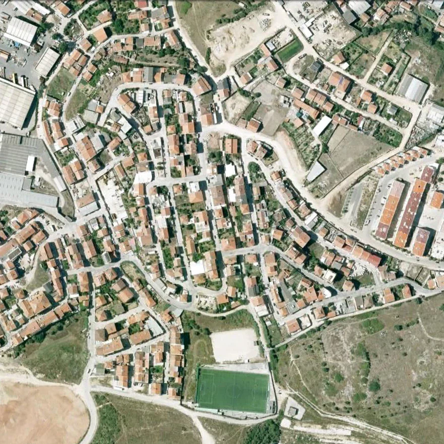
A reconversion proposal for the neighbourhood, with the permit issued
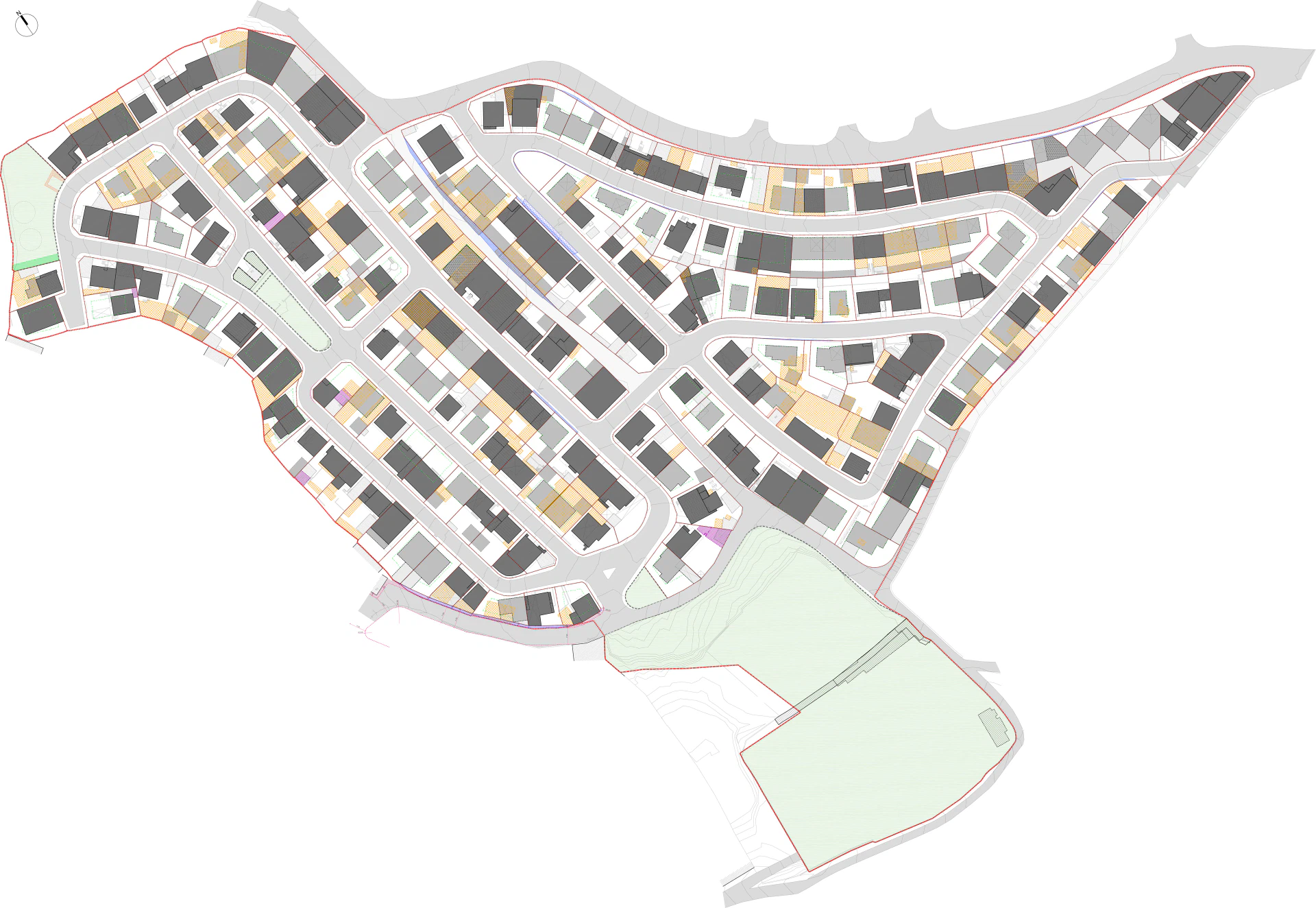
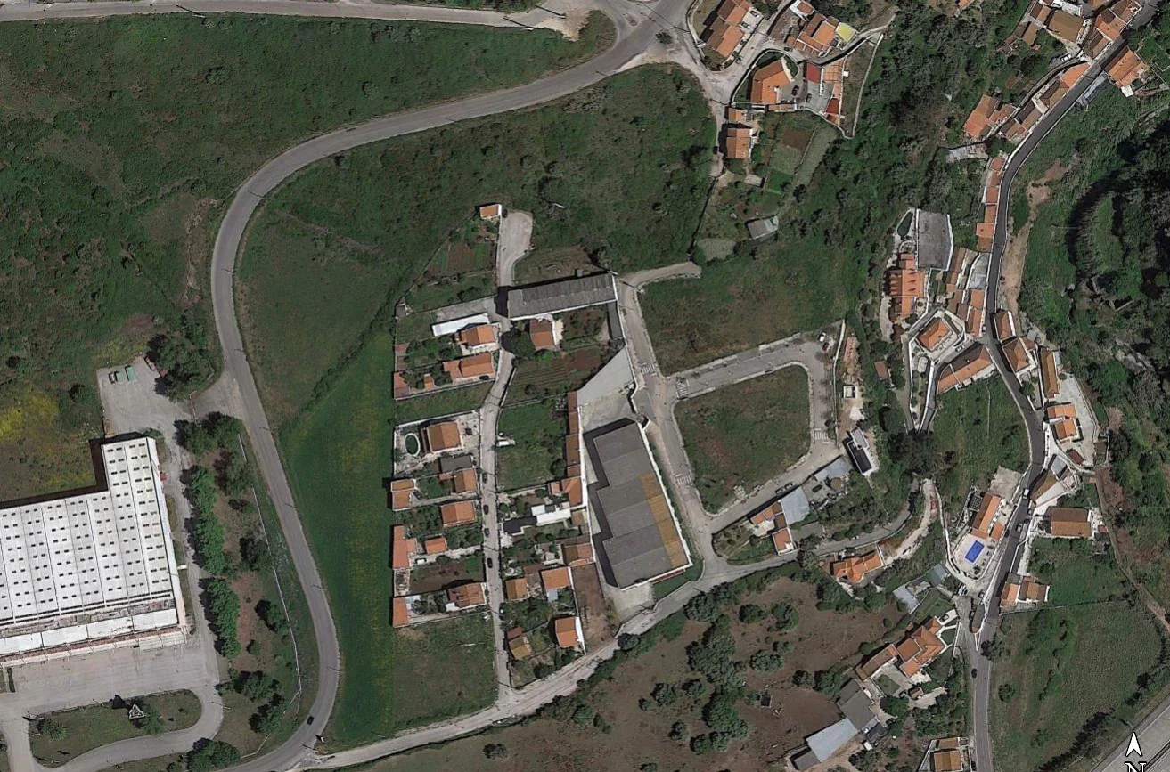
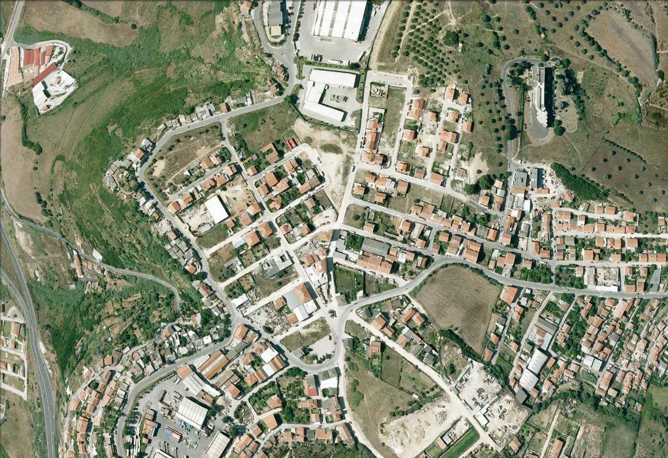
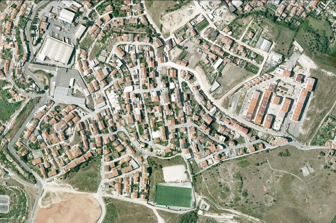
In Camarate, Loures, the São José neighbourhood is an area of illegal urban origin: an already consolidated fabric, with services in place and a high occupancy rate, which lacked the legal and planning framework needed to integrate it fully into the city. The proposal sets out a subdivision operation that regularises the existing situation and creates the conditions for the buildings to be licensed, safeguarding equity between owners.
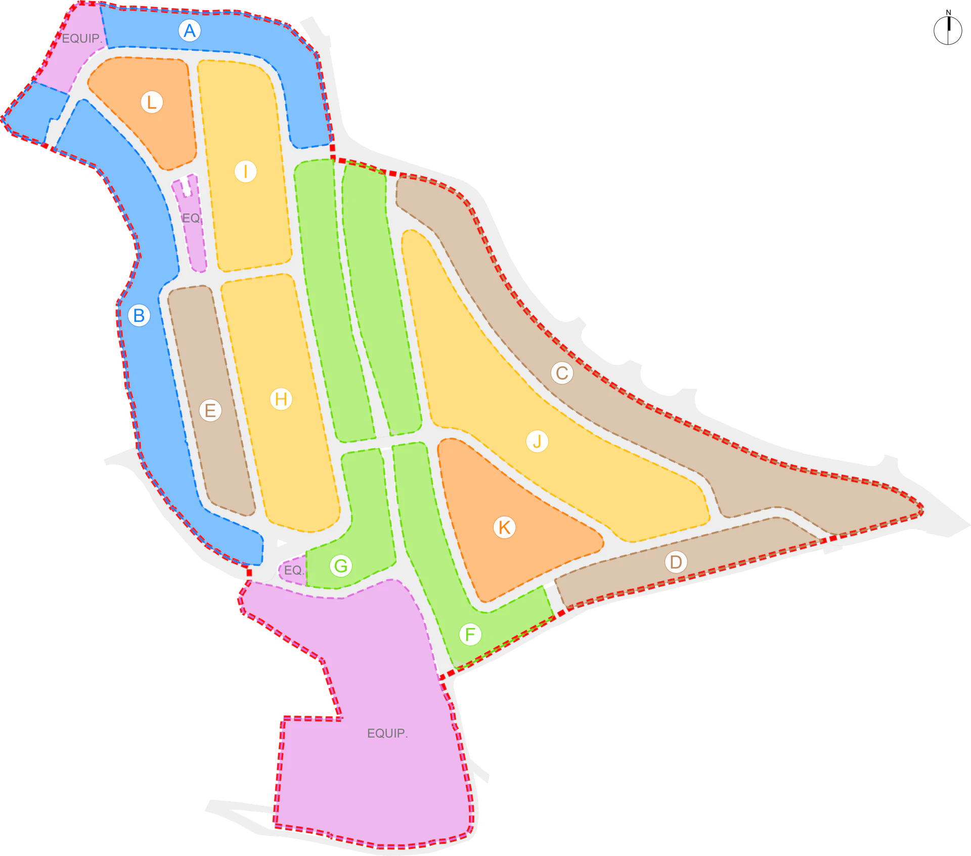
The work starts from a reading centred on the block rather than the isolated plot. On the basis of a new georeferenced topographic survey and a detailed plot-by-plot urban characterisation, the existing morphotypologies and the alignments that give coherence to the whole are identified. This approach makes it possible to justify specific solutions for each situation, reinforcing the identity of the neighbourhood and the infilling of the built fabric, rather than applying a uniform rule.
The proposal is organised around four linked objectives. Urban qualification fixes alignments and massing rules that secure the cohesion of the whole. Qualification of the built fabric defines, for each plot, the eligible typology and its volumetric integration. Qualification of the public realm improves accessibility and provides for the relocation of services and for small interventions to be agreed with the local authority. Environmental qualification addresses the healthiness of the yards, the permeability of the ground and drainage.
The environmental dimension is taken as a design premise: minimum permeable-surface parameters are set and mitigation measures are admitted (soakaways, infiltration trenches or storage cisterns) that reduce peak flow into the network and make use of rainwater. Accessibility conditions are revised at the pinch points of the road network, with paths reformulated and a plan that guarantees comfortable mobility for all.
At some 9.8 hectares, 213 plots and 426 dwellings, the proposal was reconciled with the ongoing revision of the Municipal Master Plan, aligning the survey of the existing situation with the new planning parameters. The work brought together urban design, subdivision, infrastructure, public realm and environment in a single coherent solution, set out in an integrated set of drawings and tables that clarify the obligations and building rules attaching to each plot.