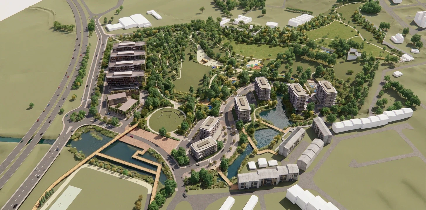
Loures Park - Encosta do Conventinho
Urbanism
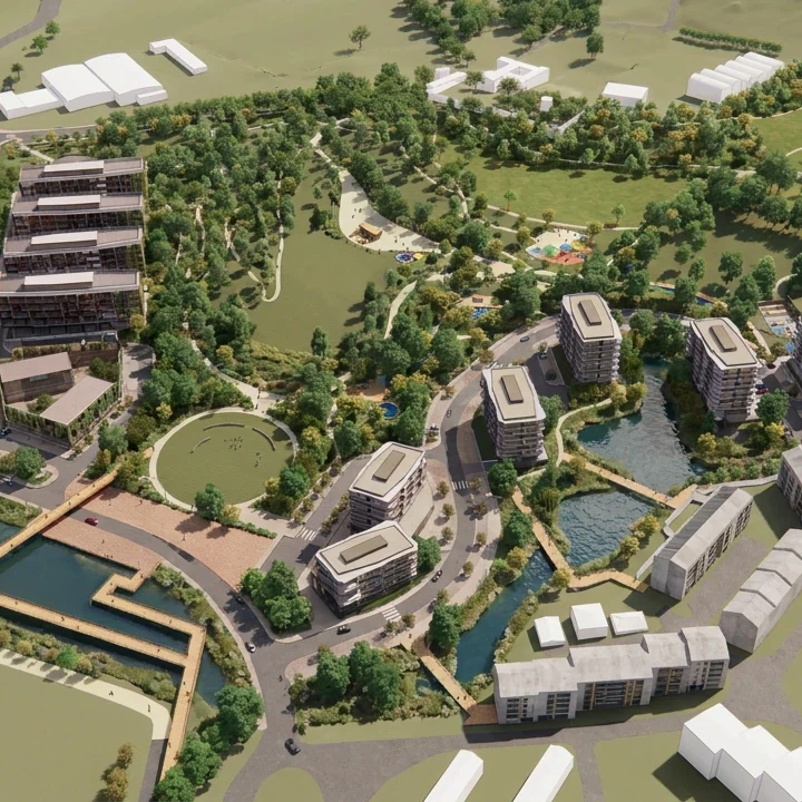
A large-scale urban intervention bringing together landscape, heritage, environment, mobility and ecological structure
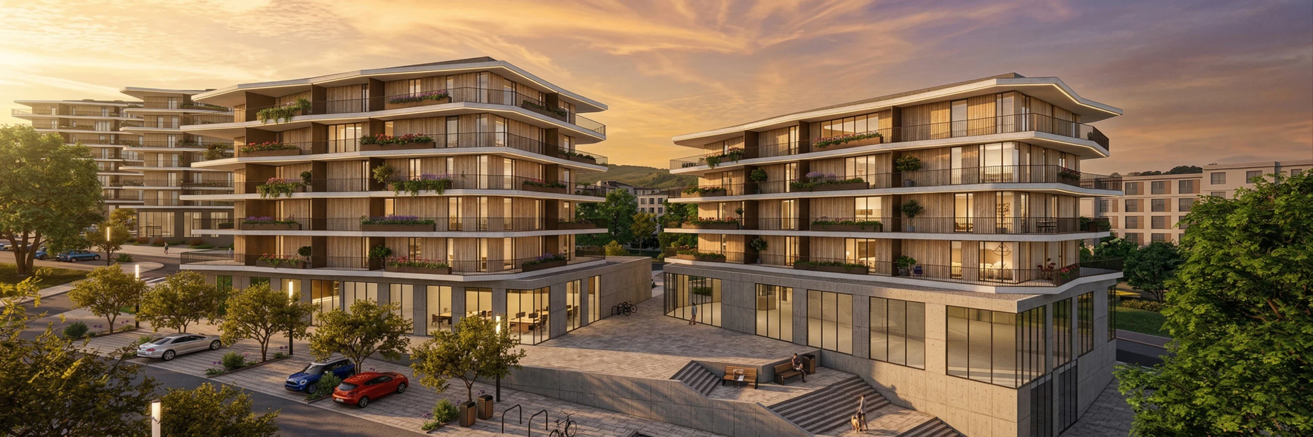
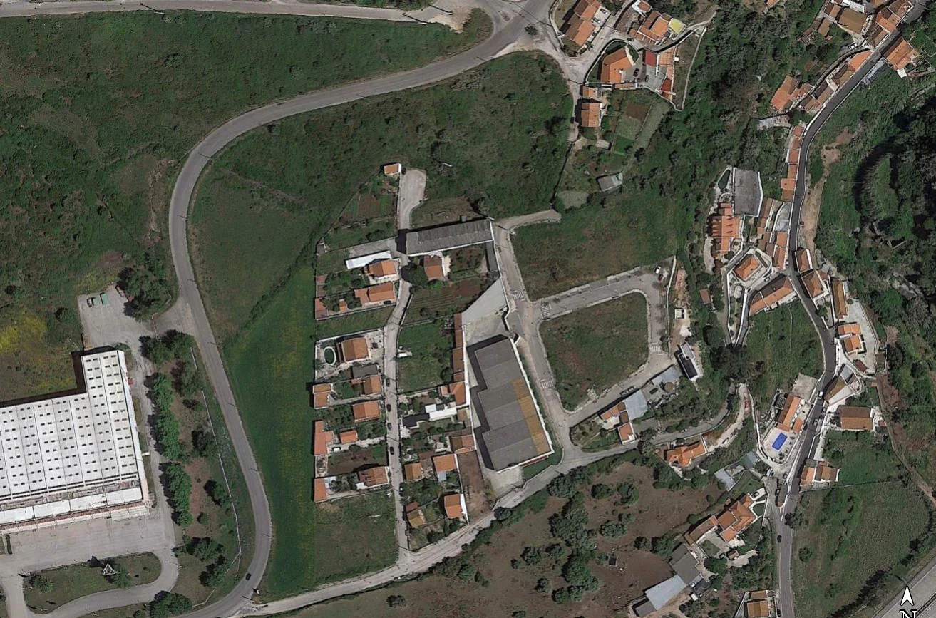
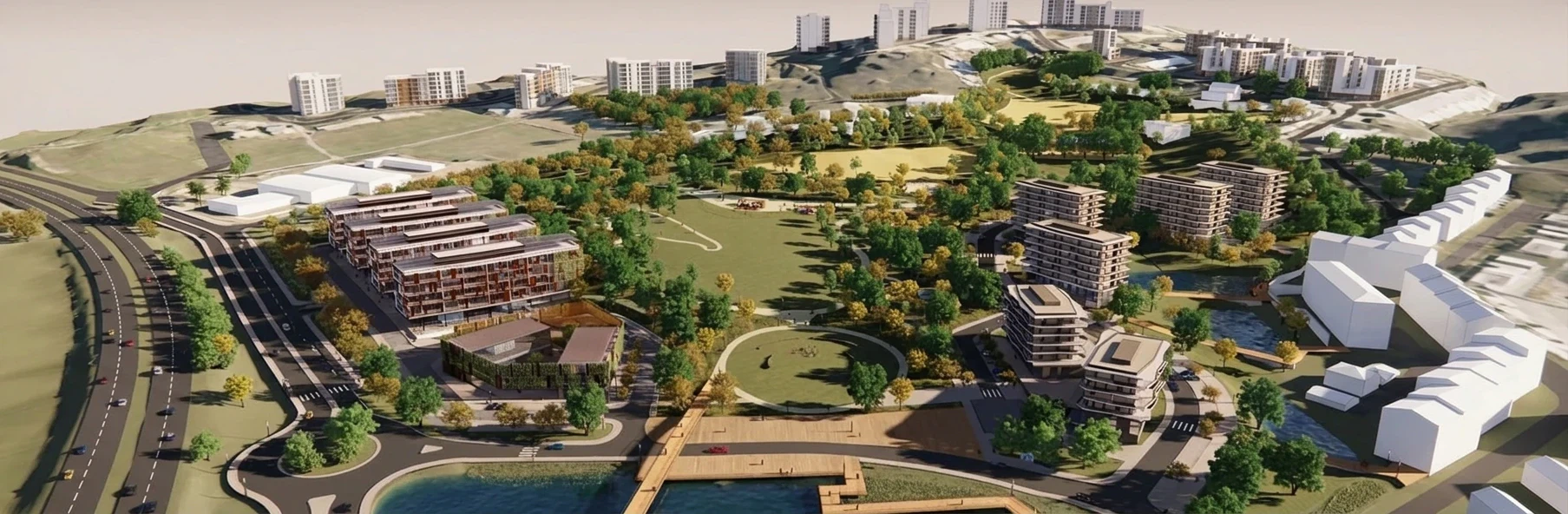
South of Loures, some 19 hectares of hillside with wide views over the city give way to a landmark urban intervention. The proposal starts from an integrated reading of the territory, bringing together landscape, heritage, environment and urban ecological structure.
| Project type | Execution unit |
|---|---|
| Programme | Urban park, business park and housing |
| Client | Câmara Municipal de Loures |
| Disciplines | Urban design, Landscape, Hydraulics, Mobility, Heritage, Infrastructure |
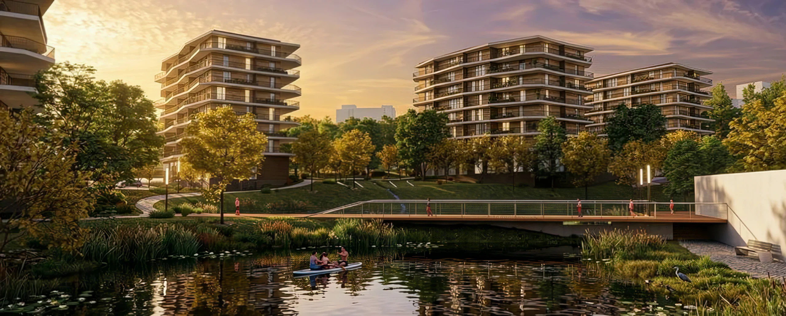
| 3D images | Atelier Geometria |
Intervention strategy
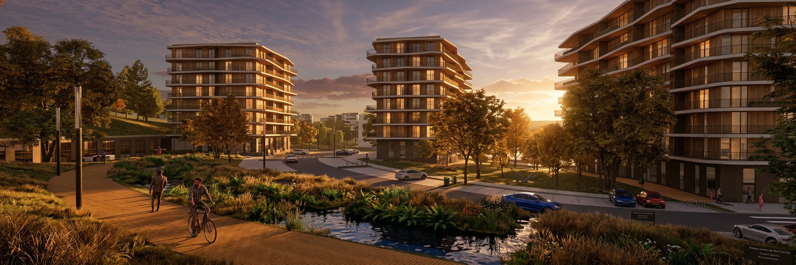
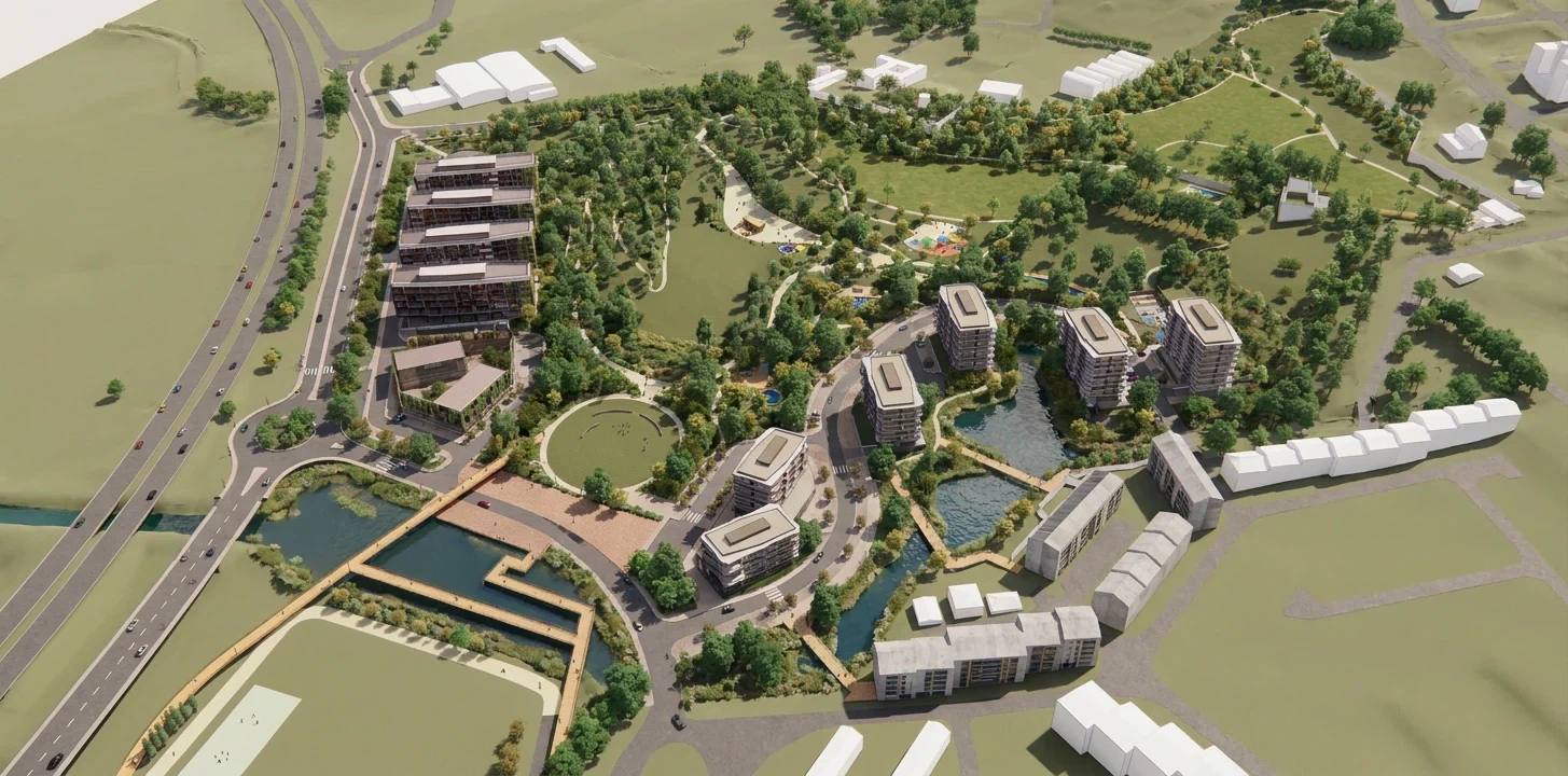
The project turns an area of strong landscape and environmental value into a structured, accessible and multifunctional urban space. The proposal brings together three independent programmes - urban park, business park and housing - within a shared territorial strategy.
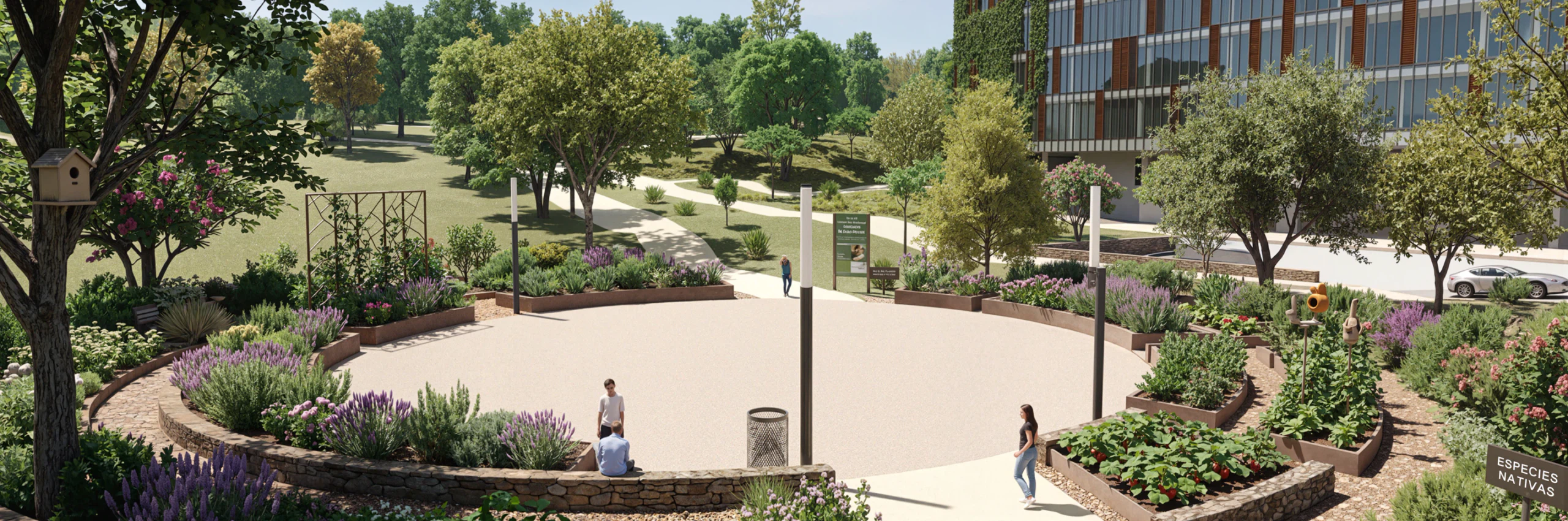
With more than 70% of the land given over to green space, the park gathers paths, viewpoints, recreation areas, meadows and a teaching farm.
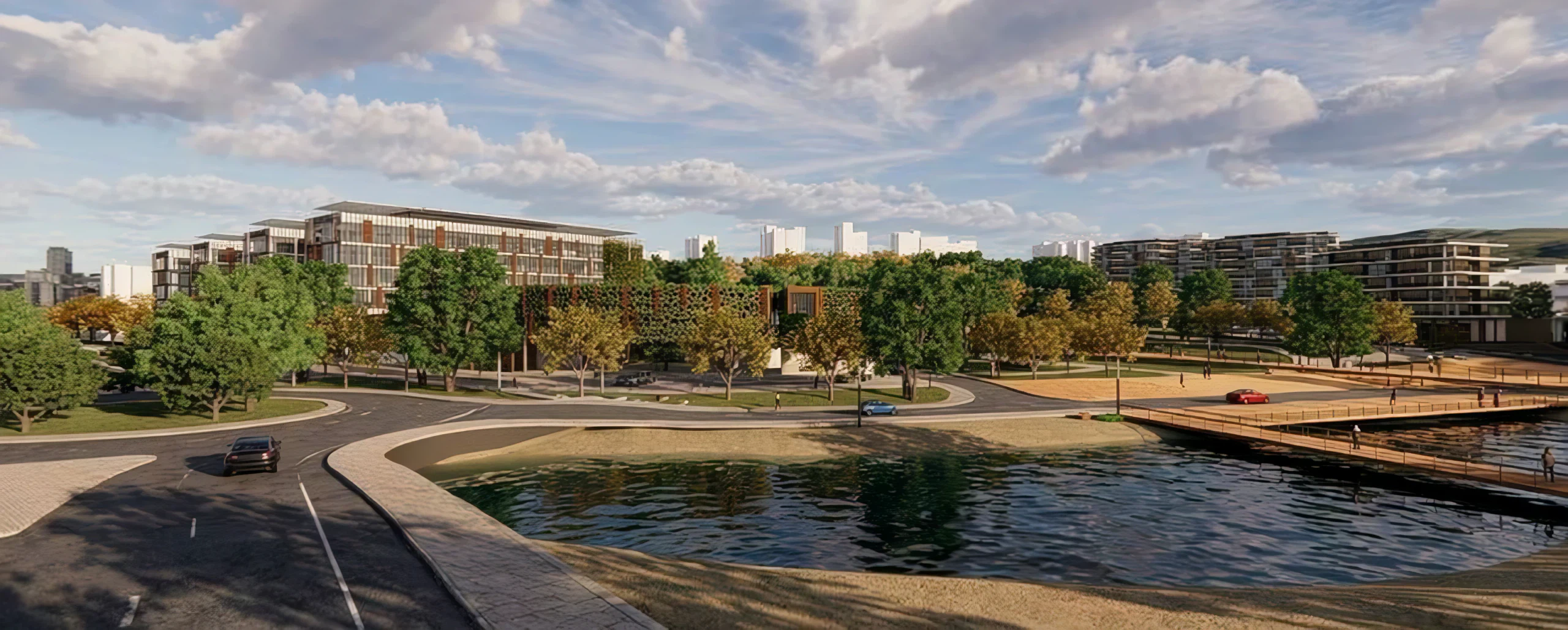
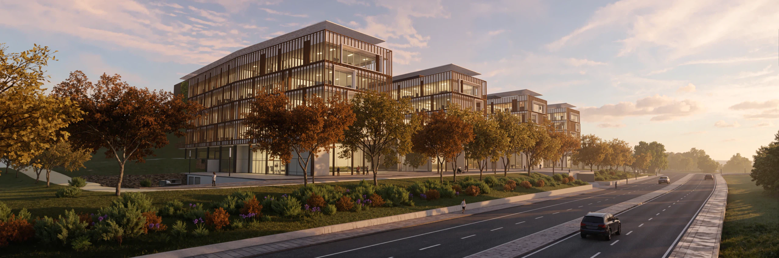
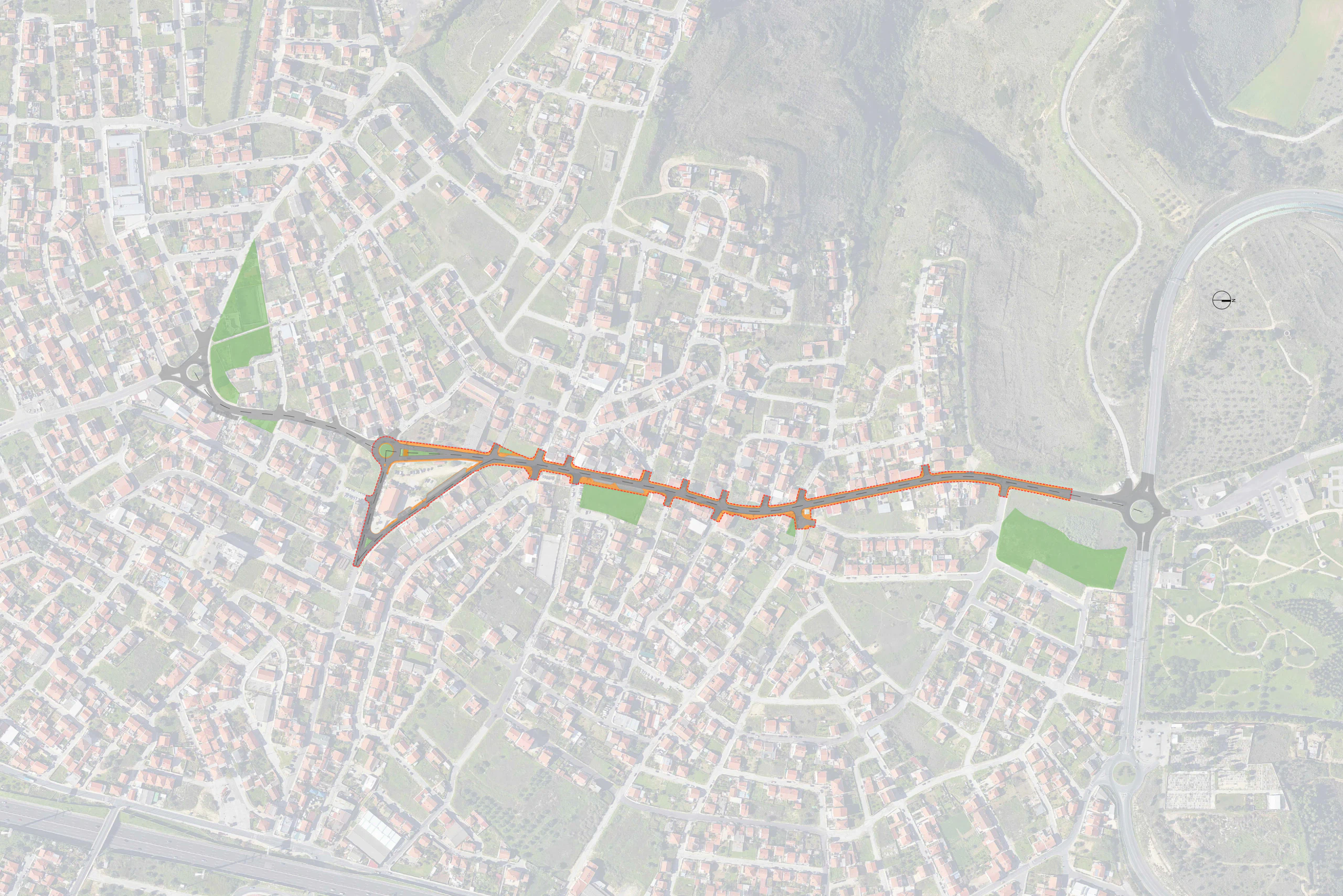
Water plays a central role, through the restoration of the Mealhada stream and of the traditional structures for capturing and conveying it. Mobility is reorganised too, with the reprofiling of the EN8, a cycle link, an accessible pedestrian network, boardwalks and coordination with the future metro line.
Lines of work
- Urban structure
- Public space and landscape
- Environment and drainage
- Mobility and infrastructure
- Multidisciplinary coordination